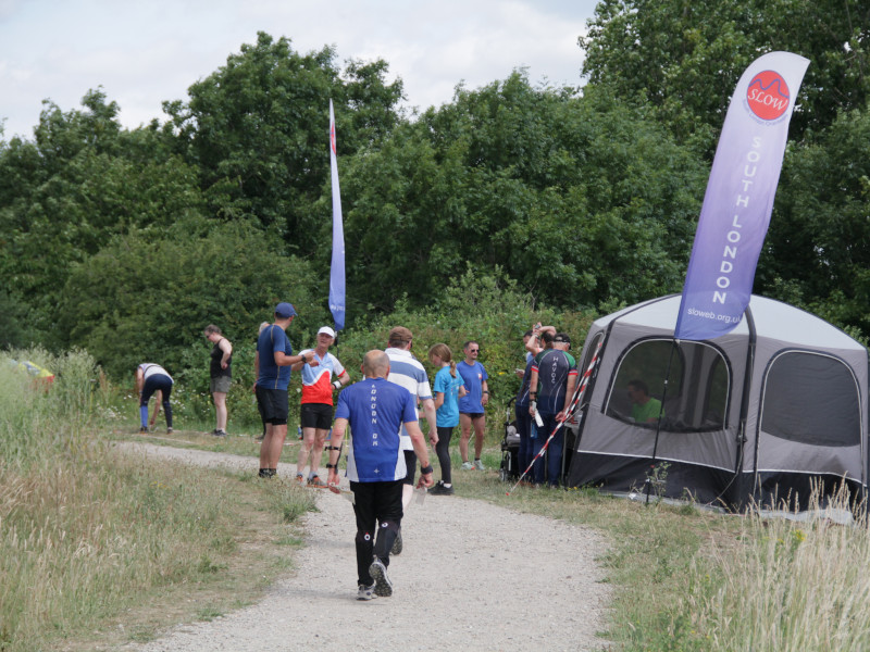
GLOSS Results – Northala Fields
*23rd June – minor corrections to results. Note that Routegadget will not be updated
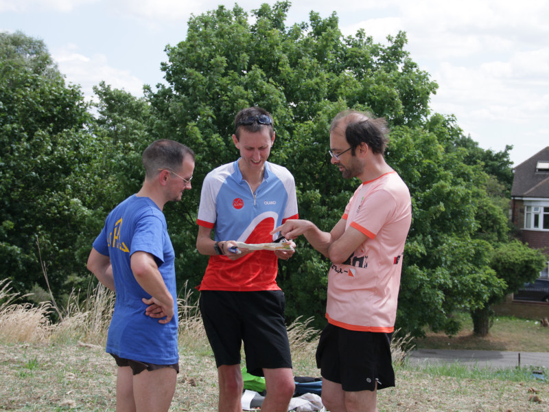
Routegadget – draw your route!
GLOSS Series and Handicap results
Planner’s Comments
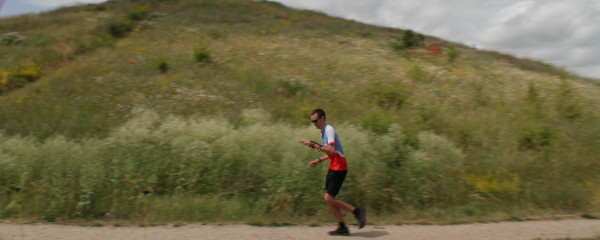
It’s been 8 years since we last held an orienteering race in Northala Fields and I hope everyone enjoyed the mix of regular flat parkland, the array of ponds in the middle and of course the four conical hills in the north. The extension visited a scrappier section to the East – the vegetation seems to have grown a metre since I finalised the courses – but provided a different kind of challenge to the formally laid out main park, with the best route sometimes being hard to spot. Thankfully it was much less hot than forecast, and with a pleasant breeze too, but we still ended up drinking almost all the water available at download.
Apologies to those who were confused by the location of final control on the GLOSS course being so close to – and on a different level to -the finish – the issue compounded by most people approaching it via the finish itself, from which the control was invisible. It had been further away in earlier planning but was moved closer during fine-tuning so that I could be sure people would approach the finish zone from one direction, so that they had plenty of time to split to pick up the Extension map if needed. In retrospect it would have been fine being further away.
I’ve long wanted to have controls on all four of the hills but only two had suitable mounting sites. But did anyone else climb all four hills anyway? Hopefully it won’t be 8 more years until we run at Northala again – the park to the north of the A40 is being remodelled to add two new ponds/lakes, and some other features that, while being built for “sustainable drainage” will also add interest and detail to orienteering .
Thank to Steven and Gordon for organising, SLOW helpers for hanging/collecting controls and running the start, finish and download, and Frank for doing a comprehensive update of the map, including a large amount of fieldwork.
Oliver O’Brien – SLOW